Suivi du Levé Topo à St Nicolas La Chapelle
VR3D • 18 septembre 2019
Suivre l'évolution du levé topo pour un plan de nivellement

Relevé Topo en 2 phase pour le compte de l'entreprise PIANTONI afin de réaliser un plan de nivellement.
07 OCTOBRE 2019
Levé Topo - St Nicolas La Chapelle
RELEVE PAR DRONE RTK : 2eme phase de levé topo après les travaux de la société Piantoni SA afin d'évaluer le cubage des déblais/remblais en Savoie sur la commune de ST NICOLAS LA CHAPELLE.
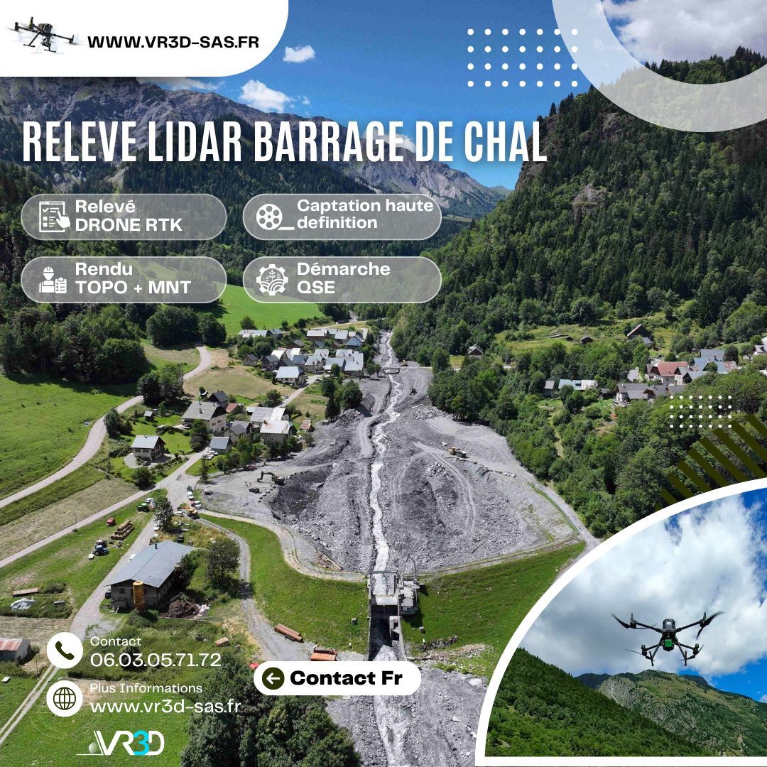
www.vr3d-sas.fr
18 SEPTEMBRE 2019
Mission Relevé Topo
Prestation du jour sur la commune de ST NICOLAS LA CHAPELLE 73 pour le relevé topographique par drone RTK en route fermée. Relevé pour le compte de l'entreprise PIANTONI afin de réaliser un plan de nivellement. www.vr3d-sas.fr

The body content of your post goes here. To edit this text, click on it and delete this default text and start typing your own or paste your own from a different source.

The body content of your post goes here. To edit this text, click on it and delete this default text and start typing your own or paste your own from a different source.

The body content of your post goes here. To edit this text, click on it and delete this default text and start typing your own or paste your own from a different source.

The body content of your post goes here. To edit this text, click on it and delete this default text and start typing your own or paste your own from a different source.
The body content of your post goes here. To edit this text, click on it and delete this default text and start typing your own or paste your own from a different source.

The body content of your post goes here. To edit this text, click on it and delete this default text and start typing your own or paste your own from a different source.

The body content of your post goes here. To edit this text, click on it and delete this default text and start typing your own or paste your own from a different source.

The body content of your post goes here. To edit this text, click on it and delete this default text and start typing your own or paste your own from a different source.

🌧️ Maîtriser et gérer les ouvrages EP commence par obtenir une donnée fiable. Chez VR3D, nous avons récemment réalisé un relevé 3D haute précision de buses d’eaux pluviales afin de sécuriser leurs ouvrages. 🎯 Problème : géométrie complexe, accès contraint, besoin d’une précision centimétrique. 💡 Solution : scan 3D haute densité + Nuage de points géoréférencé + modélisation exploitable immédiatement par les équipes MOE. 📊 Résultat : gain de temps, fiabilité des métrés, anticipation des risques hydrauliques. 👉 Vous avez un ouvrage hydraulique à modéliser ? Échangeons ensemble www.vr3d-sas.fr hashtag#VR3D hashtag#Scan3D hashtag#Relevé3D hashtag#Géomètre hashtag#Hydraulique hashtag#Innovation hashtag#NuageDePoints

#GénieCivil #OuvrageDart #Topographie #InspectionTechnique #DroneProfessionnel