NavVis
Romain Thomazeau • 15 septembre 2022
un Nouvel outil !

Mais qu’est-ce? VR3D
1 - Une climatisation portative
2 - Un système anti-émeute
3 - Obi Wan Kenobi en reconversion professionnelle (les cheveux en moins 😂 )
4 - Un système de numérisation mobile LiDAR
La bonne réponse est “4 - Un système de numérisation mobile LiDAR” : le NavVis VLX.
Plus de 13 000 m² intérieurs et 15 000 m² d’extérieurs réalisés en un temps record pour un rendu complètement fou !
L’essayer c’est l’adopter !
Et nous sommes ravis de pouvoir vous proposer des rendus encore plus qualitatifs grâce à cet outil !
#NavVis #VLX #numérisation #3D #densecloud #nuagedepoints #LiDAR
The body content of your post goes here. To edit this text, click on it and delete this default text and start typing your own or paste your own from a different source.

The body content of your post goes here. To edit this text, click on it and delete this default text and start typing your own or paste your own from a different source.

The body content of your post goes here. To edit this text, click on it and delete this default text and start typing your own or paste your own from a different source.

The body content of your post goes here. To edit this text, click on it and delete this default text and start typing your own or paste your own from a different source.

The body content of your post goes here. To edit this text, click on it and delete this default text and start typing your own or paste your own from a different source.

The body content of your post goes here. To edit this text, click on it and delete this default text and start typing your own or paste your own from a different source.

The body content of your post goes here. To edit this text, click on it and delete this default text and start typing your own or paste your own from a different source.

The body content of your post goes here. To edit this text, click on it and delete this default text and start typing your own or paste your own from a different source.

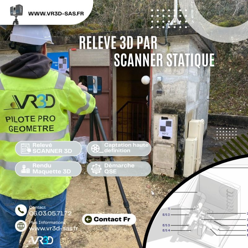
🌧️ Maîtriser et gérer les ouvrages EP commence par obtenir une donnée fiable. Chez VR3D, nous avons récemment réalisé un relevé 3D haute précision de buses d’eaux pluviales afin de sécuriser leurs ouvrages. 🎯 Problème : géométrie complexe, accès contraint, besoin d’une précision centimétrique. 💡 Solution : scan 3D haute densité + Nuage de points géoréférencé + modélisation exploitable immédiatement par les équipes MOE. 📊 Résultat : gain de temps, fiabilité des métrés, anticipation des risques hydrauliques. 👉 Vous avez un ouvrage hydraulique à modéliser ? Échangeons ensemble www.vr3d-sas.fr hashtag#VR3D hashtag#Scan3D hashtag#Relevé3D hashtag#Géomètre hashtag#Hydraulique hashtag#Innovation hashtag#NuageDePoints

#GénieCivil #OuvrageDart #Topographie #InspectionTechnique #DroneProfessionnel