Modélisation 3D pour Grand Chambéry
VR3D • 26 juin 2019
Prise de vue par drone

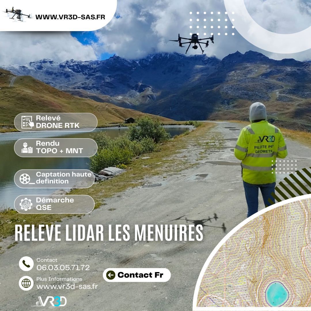
Nous étions ce jour sur le siège de GRAND CHAMBERY, service des eaux afin de réaliser des prises de vues par drone. Les conditions météo deviennent extrêmes mais nous sommes encore en mesure de livrer nos clients dans les délais impartis. www.vr3d-sas.fr

The body content of your post goes here. To edit this text, click on it and delete this default text and start typing your own or paste your own from a different source.

The body content of your post goes here. To edit this text, click on it and delete this default text and start typing your own or paste your own from a different source.

The body content of your post goes here. To edit this text, click on it and delete this default text and start typing your own or paste your own from a different source.

The body content of your post goes here. To edit this text, click on it and delete this default text and start typing your own or paste your own from a different source.

The body content of your post goes here. To edit this text, click on it and delete this default text and start typing your own or paste your own from a different source.
The body content of your post goes here. To edit this text, click on it and delete this default text and start typing your own or paste your own from a different source.

The body content of your post goes here. To edit this text, click on it and delete this default text and start typing your own or paste your own from a different source.

The body content of your post goes here. To edit this text, click on it and delete this default text and start typing your own or paste your own from a different source.
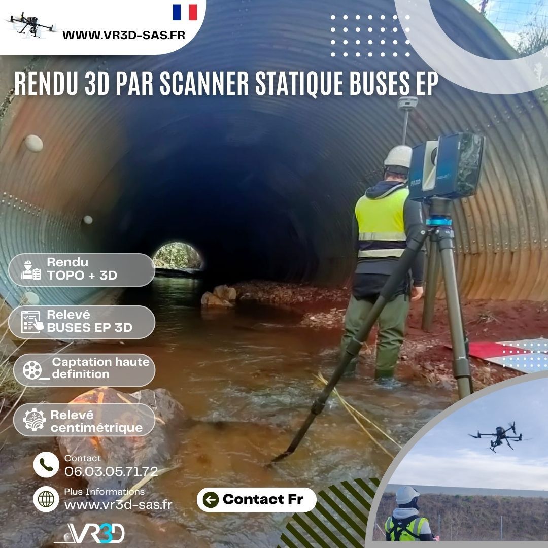
🌧️ Maîtriser et gérer les ouvrages EP commence par obtenir une donnée fiable. Chez VR3D, nous avons récemment réalisé un relevé 3D haute précision de buses d’eaux pluviales afin de sécuriser leurs ouvrages. 🎯 Problème : géométrie complexe, accès contraint, besoin d’une précision centimétrique. 💡 Solution : scan 3D haute densité + Nuage de points géoréférencé + modélisation exploitable immédiatement par les équipes MOE. 📊 Résultat : gain de temps, fiabilité des métrés, anticipation des risques hydrauliques. 👉 Vous avez un ouvrage hydraulique à modéliser ? Échangeons ensemble www.vr3d-sas.fr hashtag#VR3D hashtag#Scan3D hashtag#Relevé3D hashtag#Géomètre hashtag#Hydraulique hashtag#Innovation hashtag#NuageDePoints

#GénieCivil #OuvrageDart #Topographie #InspectionTechnique #DroneProfessionnel