Article du Dauphiné Libéré - Mensuel Entreprise
VR3D • 20 septembre 2018
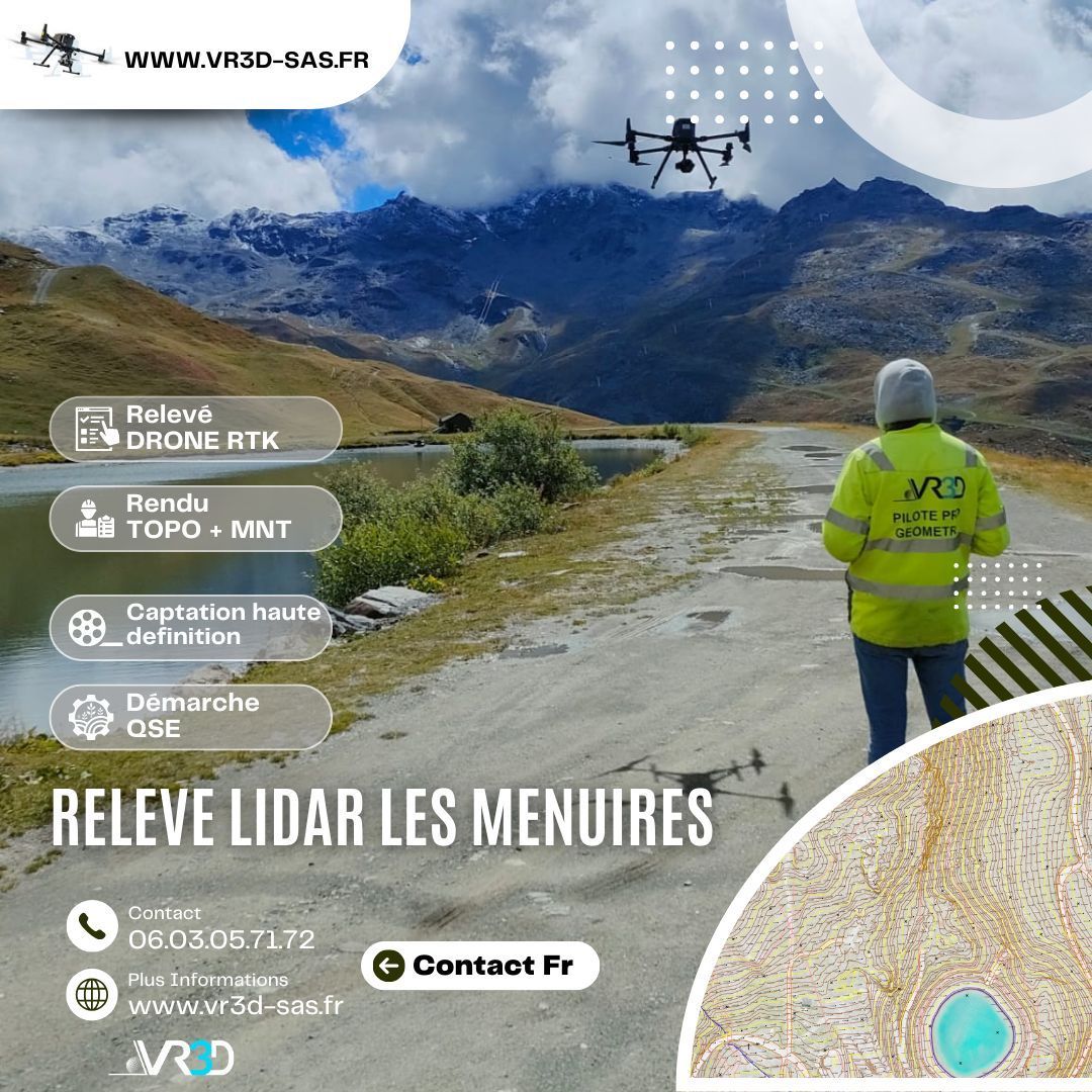
VR3D, la modélisation 3D par drone

Superbe article du Dauphiné Libéré dans le mensuel entreprise du mois de Septembre, merci Guy Baboulin pour cette belle publication.
De très belles réalisations en perspective dans le domaine de la topographie par photogrammétrie, www.vr3d-sas.fr

The body content of your post goes here. To edit this text, click on it and delete this default text and start typing your own or paste your own from a different source.

The body content of your post goes here. To edit this text, click on it and delete this default text and start typing your own or paste your own from a different source.

The body content of your post goes here. To edit this text, click on it and delete this default text and start typing your own or paste your own from a different source.

The body content of your post goes here. To edit this text, click on it and delete this default text and start typing your own or paste your own from a different source.

The body content of your post goes here. To edit this text, click on it and delete this default text and start typing your own or paste your own from a different source.
The body content of your post goes here. To edit this text, click on it and delete this default text and start typing your own or paste your own from a different source.

The body content of your post goes here. To edit this text, click on it and delete this default text and start typing your own or paste your own from a different source.

The body content of your post goes here. To edit this text, click on it and delete this default text and start typing your own or paste your own from a different source.

🌧️ Maîtriser et gérer les ouvrages EP commence par obtenir une donnée fiable. Chez VR3D, nous avons récemment réalisé un relevé 3D haute précision de buses d’eaux pluviales afin de sécuriser leurs ouvrages. 🎯 Problème : géométrie complexe, accès contraint, besoin d’une précision centimétrique. 💡 Solution : scan 3D haute densité + Nuage de points géoréférencé + modélisation exploitable immédiatement par les équipes MOE. 📊 Résultat : gain de temps, fiabilité des métrés, anticipation des risques hydrauliques. 👉 Vous avez un ouvrage hydraulique à modéliser ? Échangeons ensemble www.vr3d-sas.fr hashtag#VR3D hashtag#Scan3D hashtag#Relevé3D hashtag#Géomètre hashtag#Hydraulique hashtag#Innovation hashtag#NuageDePoints

#GénieCivil #OuvrageDart #Topographie #InspectionTechnique #DroneProfessionnel